
Walk a Ballwin Street Directory Trail
A Ballwin street directory trail begins with one standard address and ends with records that have clear dates and roles. The city ward-and-street list supplies the Ballwin range, ward, ZIP, and maintenance note. Devnet or the assessor then connects the address with a county account. GIS places that account on a Ballwin parcel polygon. The Recorder connects the owner party to a legal instrument. Voter and historical directory sources have narrower uses, so they should be added only through their documented access channels. Each Ballwin source supplies a different kind of evidence.
- Enter the full Ballwin address in USPS ZIP Lookup, preserving the original number, directional, street type, unit, and ZIP for comparison.
- Use the Ballwin Ward and Street Search to record the house-number range, ward, ZIP, and private, state, or county maintenance marker.
- Search Devnet by the Ballwin address, owner name, or property number. Retain the result year, account number, name, address, and type.
- Locate the parcel in county GIS and compare its locator, property address, ZIP, subdivision, municipality, and adjoining polygons.
- Search the current owner as a grantee in the Recorder index, then follow the prior grantor backward when a deed trail is needed.
- For a lawful registration question, use the Missouri match tool with known required identity fields or the County Board of Elections request route. For past Ballwin households, browse reverse or criss-cross directory pages by address.
Note: Keep a source and date beside every Ballwin result, because a parcel update, deed, directory entry, permit, and voter record describe different moments.
Normalize a Ballwin Street Address
Address form is the first Ballwin street directory decision. USPS can standardize delivery information, but a postal result does not prove city limits, ownership, or who is at the address. The Ballwin street list is based on 2000 Census data and supplies a different layer: ward, street name and house-number range, ZIP, aldermen, and maintenance notes. County parcel fields add the physical property address and locator. A Recorder legal description may stay stable even when a postal label changes.
- Parcel
- A Ballwin county-defined piece of land, identified by a number or locator and shown as a polygon in GIS.
- Situs address
- The physical Ballwin address of the parcel. It is different from the tax-mail address.
- Plat
- A recorded map that can connect a Ballwin subdivision, lot, block, and legal-land description.
- Criss-cross directory
- An address-arranged directory that can move from a historic Ballwin street address to a dated listing.
Use all four labels when present: postal delivery address, situs address, tax-mail address, and legal description. A Ballwin result can be valid in one field and not in another. This Ballwin distinction prevents an address label from being overstated. It is a basic Ballwin address-control step.
Ballwin Street Ranges and Wards
The official Ballwin Ward and Street Search is a practical front end for a Ballwin street directory check. It offers street initials, ward numbers 1 through 4, and a street-name search. Results list Ward, Street Name with House Number, ZIP Code, and Aldermen, with notes for private, state-maintained, and county-maintained streets. The city source is an address-range reference, not a current person list.
Its entries show why a Ballwin street needs a precise range. Clayton Road has different listed ranges and ZIPs. Kehrs Mill Road’s south side is split between Ward 1 for 109-590 and Ward 2 for 616-1058, both in 63011. Manchester Road north odd numbers 14637-15121 also appear in 63011. These Ballwin examples are boundaries for a search, not evidence of a particular household.
The official Ballwin ward-and-street search is the source for this street-range capture.
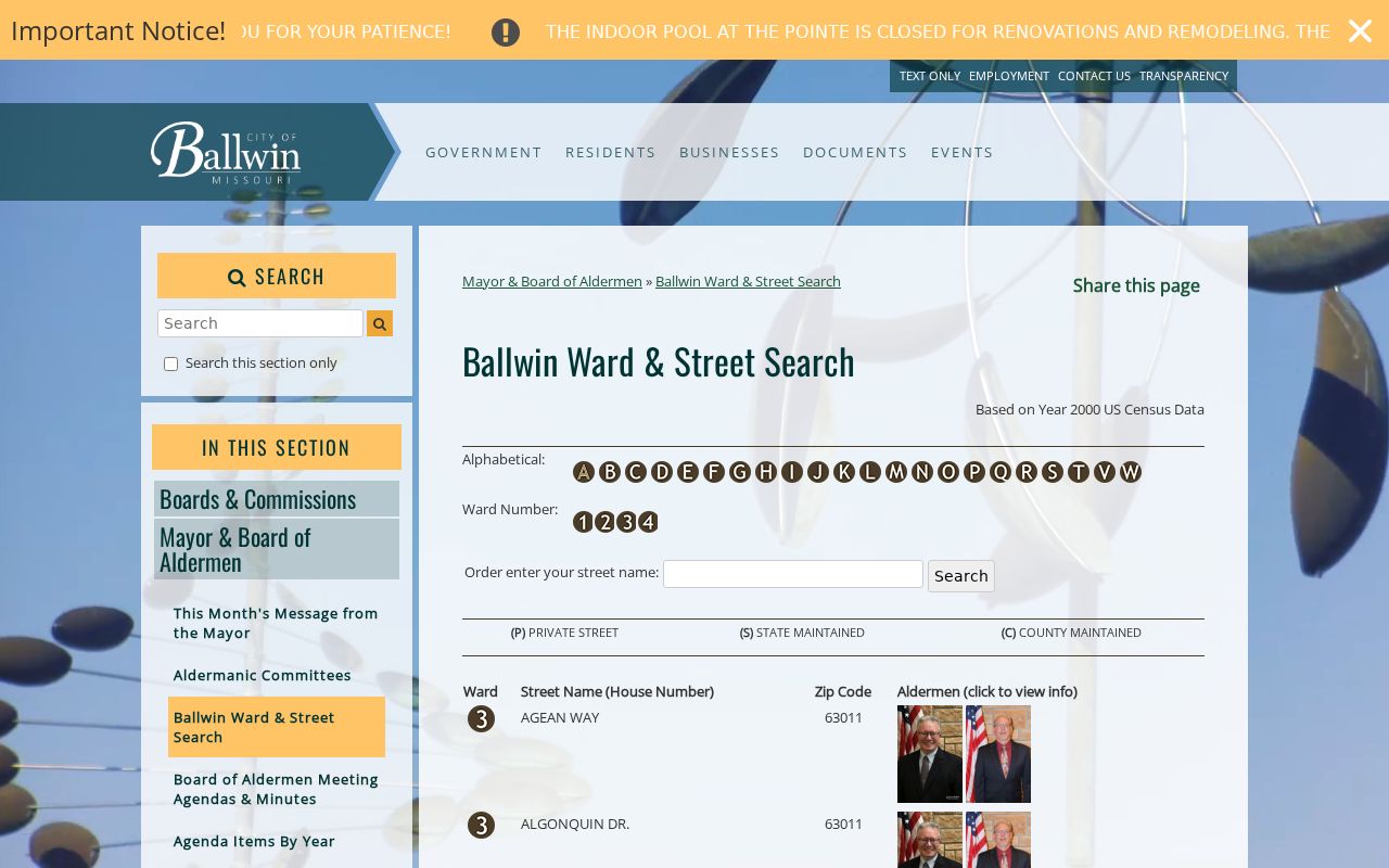
Use the range shown by the Ballwin source before comparing county parcels along a long road or at a ward boundary.
Ballwin Street Directory Property Fields
Devnet provides the most explicit visible field set for a Ballwin street directory property search. Its text entry is labeled Property Number, Owner Name, or Address. The form defaults to All property types and offers Real Estate and Personal Property filters, a Hide Retired checkbox, a Search button, a View control, pagination, and Export Results to CSV. The observed result table uses Year, Number, Name, Address, and Type. Exact wildcard behavior and the result cap were not located, so test only the address form that the portal accepts.
| Visible Devnet field | Street-directory use | Options or limit |
|---|---|---|
| Property Number, Owner Name, or Address | Start with a complete Ballwin address or known property number | One text query; no required marker shown |
| All / Real Estate / Personal Property | Filter the account type | All is the default |
| Hide Retired | Remove retired accounts from the displayed result | Optional checkbox |
| View / Export Results to CSV | Review and retain the displayed Ballwin result set | View options and cap were not located |
The official IAS assessor route supports owner, address, and parcel searching, but its exact field labels and controls were not exposed in the collected material. Do not call IAS a ZIP search or transfer Devnet’s form controls to it.
The county IAS assessor source is the captured legacy property-search reference.
A Ballwin property hit should be saved with its account year, number, and field labels before it is compared with a deed. The Ballwin account detail gives the later deed search a reliable starting point. That Ballwin record remains a parcel result, not a person list.
Ballwin Street Parcels in GIS
County GIS makes the Ballwin street directory spatial. The official parcel FeatureServer exposes polygon geometry and fields such as LOCATOR, PROP_ADD, PROP_ZIP, SUBDIVISIO, MUNICIPALI, land use, value, district, year-built, and sales or permit analytics. Find the Ballwin address or parcel, select its polygon, record the visible attributes, and click parcels sharing a boundary or across the street. The service limits standard query results to 2,000 records.
Adjoining parcels help identify a corner, common drive, street break, or subdivision line. They do not create a list of people on the Ballwin street. Pair the GIS locator with Devnet’s account, then compare the legal description through the Recorder if two street results look inconsistent. For Ballwin, a shared edge is a geographic relationship, not a personal one.
Ballwin Street Records by Address
Address-keyed Ballwin records each answer a narrow question. The city street list defines a range. Devnet and the assessor connect an address to a county account. GIS supplies parcel geography. The Recorder supplies instruments and legal descriptions. City permits mark a dated city-file event. The voter-file route is regulated and is not a public street browser. Library reverse pages can provide an older address snapshot. Use the Ballwin source that fits the question and do not blend their roles. A Ballwin address can correctly have different dates across the sources.
| Ballwin address record | Address key | What it can show | Access path |
|---|---|---|---|
| Ward and Street Search | Street and house-number range | Ward, ZIP, aldermen, maintenance note | Free city search, based on 2000 Census data |
| Devnet or Assessor | Situs address, owner, or parcel | County account, name, address, year, and type | Current portal; IAS controls not fully captured |
| Parcel GIS | Locator or parcel polygon | Address, ZIP, subdivision, municipality, and adjacent parcels | Free FeatureServer and viewer |
| Recorder instruments | Legal description or named party | Grantor, grantee, deed, lien, plat, and book or document reference | Online entry, counter, or copy-order form |
| City permits | Address or parcel | Dated work, permit, owner, contractor, and status when available | Tyler portal or city request; live field set is a gap |
| Reverse directories | Street and house number | Historical address listing and nearby entries | Library Digital Archives, print, or microfilm |
Ballwin Street Deed Links
A Recorder search turns a Ballwin street parcel into a legal transfer trail. Start with the current owner from Devnet or the assessor. In the grantor-grantee index, find the acquisition record where that party is the grantee. Save the recording date, document number or book and page, instrument type, legal description, and prior grantor. Then search the prior grantor as an earlier grantee. Trusts, estates, corporations, and name variants must stay in their recorded party roles.
The public Recorder entry point does not state a simple current online cutoff. Library guidance identifies county deed books for 1877-1931, an ownership index for 1974-1992, and FamilySearch county deed material for 1877-1886. When the online Ballwin street record ends, use the Recorder counter, the copy-order form, library microfilm guidance, or FamilySearch access rather than guessing a coverage year. That Ballwin gap is part of the research record.
Use the Recorder deed-copy order form for a focused Ballwin instrument request when the address, owner, approximate purchase date, and book-page or document number are known. A Ballwin Recorder request should retain its Ballwin reference number.
Ballwin Street Permits Carry Dates
Ballwin permit material is address evidence with a narrow purpose. The city’s Tyler eSuite route tells residents to identify a parcel number first and points them to county IAS. Historic 2019 permit listings visibly included a permit ID, status, contractor, owner, city and ZIP, parcel, address, amount paid or due, page, and permit type. A Ballwin permit date documents a city-file event such as work on a parcel. It does not establish an ownership transfer or a complete household.
The live public permit search fields, case search, image access, result cap, and retention cutoff were not located. Ask Ballwin Code Enforcement at 636-227-8580 or use the city’s public-record route for a specific existing permit or code record. Keep a request narrow by address, parcel, record type, and date range. Ballwin permit gaps should remain plainly labeled.
Ballwin’s official history source provides the local historical context for the city records that appear after incorporation.
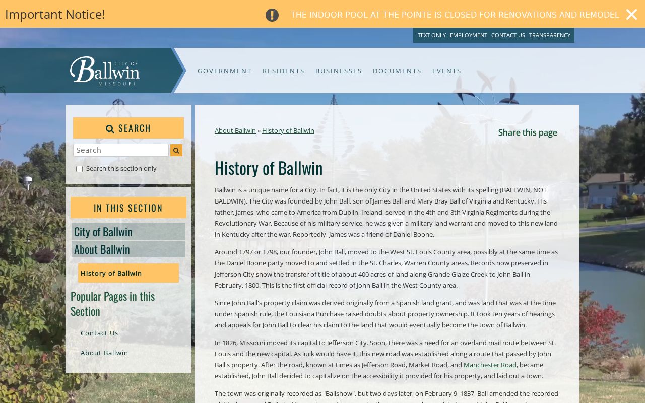
For earlier Ballwin street evidence, county deeds, directory volumes, and plats are usually more useful than a municipal permit file.
Ballwin Street Directory Reverse Pages
Reverse and criss-cross directory pages are the historical Ballwin street directory layer. St. Louis County Library’s county-directory guide spans 1893-1979, with cataloged surviving runs from 1903-1979. It says a reverse directory begins in the back of a 1922 city directory. Select a year, search a name, or browse the alphabetic pages in Digital Archives. An address or part of an address may work, but browsing catches OCR variation and lets the reader see adjacent street entries.
Reverse pages are annual snapshots, not a current Ballwin street list. Cite the directory title, year, section or page, original street spelling, and neighboring entries. When an old number fails to match a current parcel, compare the subdivision plat, legal description, and adjacent parcel context. No official Ballwin street-number conversion map or renumbering date was located. The Ballwin bridge should be stated as uncertain when no record proves it.
The St. Louis County Library RECA route is a useful Ballwin fallback when a county portal does not reach a selected historical year. A Ballwin directory citation should retain its Ballwin year.
Ballwin Street ZIP Geography
A Ballwin street directory needs a ZIP check before a parcel search is ruled out. Ballwin addresses appear in 63011, 63021, and 63017. The city list documents 63017 on streets such as Westpar and Wetherburn, even though a postal-city label can read Chesterfield or Town and Country. A Ballwin street with a 63021 ZIP also should not be treated as proof of city limits. Postal geography, the municipal boundary, a county municipality field, and a tax-mail address are different records.
Use USPS for delivery standardization, then compare its result with the Ballwin range table, Devnet address, GIS PROP_ZIP, and parcel locator. The 63011 Ballwin Main Post Office is documented, but the serving station for every 63017 or 63021 address was not located. The Ballwin answer must stay address-specific.
The Ballwin USPS location supports the documented 63011 post-office reference. It is useful for verifying a Ballwin delivery address, not for deciding municipal limits or listing people by street. A Ballwin ZIP check is one step in the address trail and one geographic layer among several.
Ballwin Street Privacy Limits
A Ballwin street directory cannot show every person connected with an address. Address-keyed sources omit many household relationships, protected voters, current vital information, utility account holders, and delivery recipients. A deed or property record identifies a party and land interest, not every person who uses the Ballwin address. The state voter match is not a street browser, while county voter-file access carries a fee, specific request channel, and statutory restriction. Protected addresses must not be reconstructed from other Ballwin sources.
Federal DPPA, 18 U.S.C. §§2721-2725, also restricts motor-vehicle personal information. A missing Ballwin street result is not a reason to seek or combine protected data. Preserve the gap and request a lawful redacted record from the appropriate custodian if one exists.
The federal DPPA source is the basis for this motor-vehicle privacy limit.
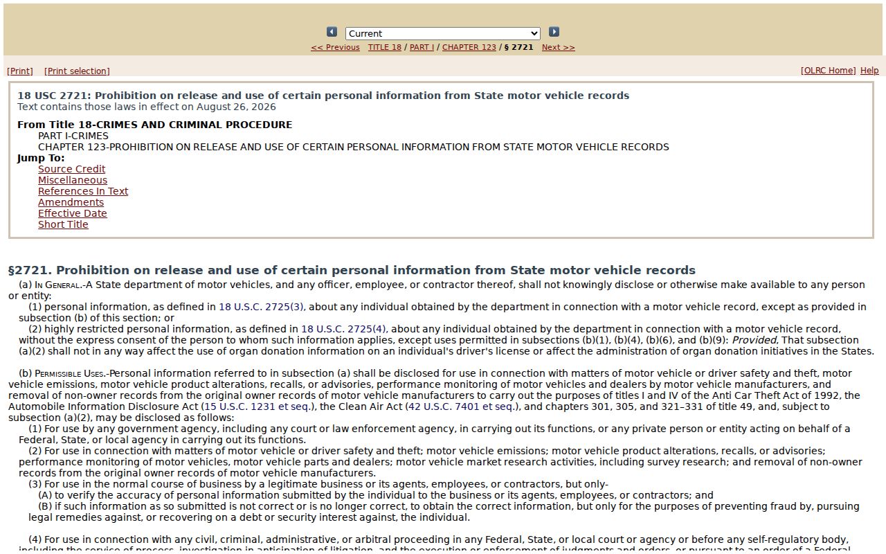
The Ballwin street trail should end at a restricted record rather than imply an unavailable address or household detail. Ballwin privacy rules apply even when a nearby record is public.
Ballwin Street Record Requests
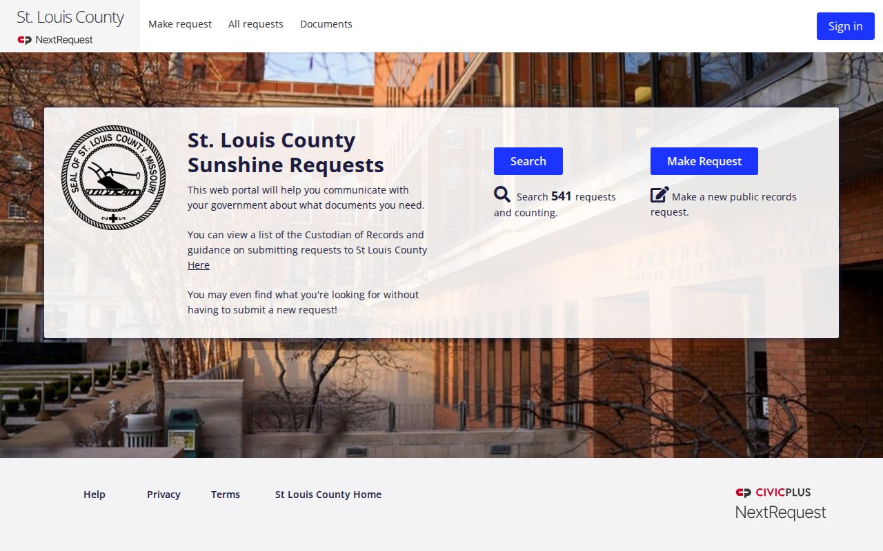
Missouri Sunshine Law, RSMo §§610.010-610.035, is the Ballwin fallback when an existing county or city address record is not on a portal. St. Louis County documents NextRequest for public-record searches and submissions. A useful request identifies the Ballwin street address or parcel, record type, date range, and preferred electronic format. The custodian generally responds within three business days by providing access, denying with a statutory basis, or giving a time and cost estimate. Fees must be reasonable and tied to search, copy, research, or review work.
For a recorded instrument, the Recorder copy form is the more direct route. It allows a Ballwin requester to name the property address, owner, approximate purchase date, document type, book-page or document number, copy count, and certified or non-certified choice. Counter research, mail, library microfilm, and a municipal request are all documented access paths when the street index is incomplete.
The St. Louis County NextRequest portal is the source for this county records-request capture.
A focused Ballwin request is more likely to identify the existing address record than a broad request for everyone on a street. That Ballwin approach keeps the request tied to a real record series.